Innovating remote early detection and response to tree disease
Project leads Dr Juan Suárez-Minguez; Dr Lisa Ward | Forest Research; Dr Jacqueline Rosette | Swansea University
Lead organisation Forest Research
Project status Active
Project funding 25-26 £250,776
Research outcomes Reducing the risk | Adaptation | Recovery

Context
Climate change and global trade have increased the risk of pests and diseases affecting forests. Diseases in trees can be caused by microscopic pathogens such as bacteria, fungi and viruses, but it may take a long time for visible symptoms to appear. Remote sensing technology enables scientists to detect disease and signs of stress in forests, such as changes in colour, moisture, and canopy structure, long before these signs and symptoms become visible.
Detecting these issues early enables forest managers to implement proactive measures to reduce ecological damage and avoid costly interventions. Ongoing monitoring of these subtle changes supports adaptive management strategies, which help to strengthen forest resilience.
Research aims and objectives
Aim:
Establish the groundwork for a National Monitoring System (NMS) for the early detection of forest pathogens in the UK.
Objectives:
Calibrating stress signal detection
- Controlled experiments will help to differentiate between tree stress caused by drought, and stress caused by early signs of disease (pathogen detection). Liquid Chromatography-Mass Spectrometry (LC-MS) will be used to detect chemical changes in the tree linked to pathogen infection. Leaf analysis and hyperspectral reflectance will be used to spot early warning signs of both environmental and disease-related stress.
Species mapping
- High resolution LiDAR and satellite images will be combined to create detailed maps of forest species that may act as pathogen hosts. Image analysis will identify tree species by examining seasonal timing of recurring life events such as budburst and leaf development, and differentiate them using remote sensing and machine learning techniques.
Early detection of stress
- Remote sensing will be expanded from small-scale tests to landscape monitoring. Drone surveys will collect clear, detailed images and data over the target forest areas, and satellite imagery will enable long-term monitoring of tree health and stress patterns on a broader scale.
End-user engagement
- To ensure these new remote sensing technologies are useful in the field, the project will work with forest managers and tree health inspectors to ensure the project outputs are accessible through a user-friendly web application.
Expected outcomes
- Identification of key chemical signals produced by trees under environmental or disease-related stress, using remote sensing technologies for early detection.
- Development of detailed, spatially accurate maps of individual tress, including information on species, height, canopy dimensions, and volume, linked to the National Grid for future monitoring.
- Establishment of a drone-based survey method, incorporating LiDAR and multispectral imaging, to assess early indicators of stress and potential presence of pathogens.
- Creation of a satellite-based monitoring system that uses time-series imagery to identify abnormal changes in tree health, supporting early detection of disease outbreaks.
- Delivery of a web-based platform that enables forest managers and forest health inspectors to explore data, monitor disease outbreaks, and plan forest surveys efficiently.

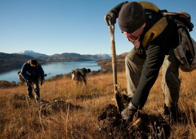
Title image: Crown Copyright. Forest Research – Lisa Ward
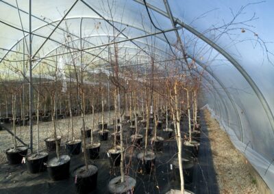
Body image: Crown Copyright. Forest Research – Lisa Ward
Glossary & Key Terms
Hyperspectral reflectance
The measurement of how a material reflects light across many different wavelengths, helping to identify its composition or condition.
Leaf analysis
A scientific method used to detect early signs of stress in trees, whether caused by environmental factors like drought or biological threats such as pathogens.
LiDAR
Light Detection and Ranging (LiDAR) is a remote sensing method that uses laser light to measure distances and create detailed 3D representations of surfaces.
Liquid Chromatography-Mass Spectrometry (LC-MS)
An analytical technique used to identify and measure chemicals in a sample. LC-MS combines two methods: Liquid Chromatography (LC) separates the components of a mixture. Mass Spectrometry (MS) identifies and quantifies those components based on their mass.
Multispectral imaging
Captures images at a few specific wavelengths across the electromagnetic spectrum (like red, green, blue, and infrared), allowing us to see details that aren’t visible in regular photos. It helps identify materials, detect changes, or analyse objects based on how they reflect light in different bands.
Pathogen
An organism or agent that can cause disease. Pathogens include viruses, bacteria, fungi, and protists. They can infect a wide range of hosts, including plants and animals.
Share this project on social media
Related Projects
Our Partners

Social media
Explore
Newsletter
Contact
© 2026 Centre for Forest Protection. All rights reserved.